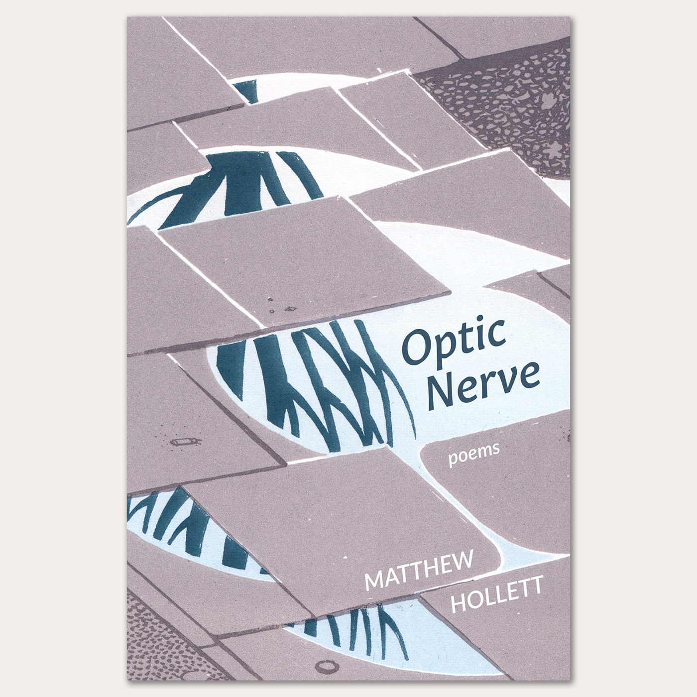
trails · april 23, 2011
My photoblog is a photographic notebook, a tool I use to record and develop visual ideas over time. It is also a good excuse to wander around with a camera. With indexical, I am particularly interested in notions of psychogeography, the city as palimpsest, and how easily the photographic subject slips into symbolism.
garrison grounds · october 24, 2009
sunset through bus advertisement · september 29, 2009
woodside hillside · september 26, 2009
wonder why you haven't before · august 14, 2009
Interchange was my MFA thesis exhibition at NSCAD University.
In Interchange, my research into walking as a cultural activity and creative act merged with my fascination with interstitial public space. My previous photographic and poetic work has often explored a sense of place and relationship with landscape, and in developing this site-specific installation I also became interested in the history of the public space immediately surrounding Anna Leonowens Gallery.
The Cogswell Interchange, located just northwest of the Gallery, has long been a source of controversy and consternation for Halifax pedestrians. Constructed in the early 1970s, it was designed to integrate with an elevated six-lane freeway which was never built, in part due to pressure from citizens concerned about the loss of heritage properties and waterfront access. Today, the interchange is considered a notorious example of misguided urban planning.
Part of the infrastructure surrounding the Cogswell Interchange can be seen from the window of Anna Leonowens Gallery 3, including an elevated pedestrian walkway. Interchange examines the changing nature of the public space immediately surrounding the gallery, contrasting “supermodern” approaches to navigating the city (the Cogswell Interchange and the elevated walkway) with the wandering, tangential language of an historical walking tour.
My installation's title, Interchange, refers to a specific type of traffic junction. At an interchange, two or more roads cross over one another without directly intersecting, allowing traffic to pass through or change direction without slowing down. In lieu of the traditional intersection, at an interchange there is no need for a driver to wait for lights to change, or to negotiate with other motorists and pedestrians. In Non-Places: Introduction to an Anthropology of Supermodernity, anthropologist Marc Augé characterizes the individualized, uninterrupted interchange as a replacement for the slower, more social space of a crossroads. Like Augé's other examples of non-places, including highways and airports, interchanges are “surrendered to solitary individuality, to the temporary and ephemeral.” They are sterile, dehumanized spaces, emphasizing streamlined individual itinerary at the expense of any opportunity for socialization, exchange with others, or chance experience.
Upon entering Anna Leonowens Gallery 3, you would usually find yourself in a small white-walled room. I built a long corridor of scaffolding and plywood leading to the window on the opposite wall. I intentionally used materials which suggested a state of flux, and the metaphor of a construction site. In my thesis, this is discussed in the context of poet Lisa Robertson's “soft architecture,” Michel de Certeau's concept of the city as palimpsest, and Walter Benjamin's Arcades Project. The gallery lights were left off for the duration of the show; the only light comes from the window.
My thesis document was located on a clipboard hung on the wall by the window.
The view from the window onto Hollis Street is an important component of the installation, as it contains several examples of the interstitial pedestrian landscape. Both the elevated pedestrian walkway and the nearby traffic meridian can be thought of as architectural reactions to the Cogswell Interchange.
The contrast between pedestrian-scale and car-scale infrastructure is especially notable in this part of the downtown. Anna Leonowens Gallery is bounded on one side by Granville Mall, with its cobblestones and historic buildings, and on the other by Hollis Street, often bottlenecked at this point with heavy trucks exiting the Cogswell Interchange. In 1970, Edward Lindgren of the former Nova Scotia Technical College described this inherent contrast in the local landscape. The Granville buildings, he writes, are designed around “a ratio based on pedestrian and slow horse traffic; it is not the street width of 1970 created by demand of four moving vehicle lanes [...] Let us appreciate the larger implications as seen in contrast with the auto route and its companion highrise structures: that this is what a street is like when people, not machines, are meant to inhabit it.”
There is a small hole in the plywood wall. Actually there are two, this one and one nearer the entrance. Visitors are invited to peer into the otherwise inaccessible interior space.
Inside, there is a large digital projection on the far wall. The projection shows an elevated pedestrian walkway, recognizable as a site just outside the gallery entrance. The image is a live webcam feed, and flickers every few seconds, updating itself. Superimposed white text fades in and out, constantly changing. The text in this photo reads, “Intentionally, or by accident.”
Other passages include: “This area was largely destroyed by fire.” “Elsewhere, changes came more slowly.” “Take your time.” “You can smell the salt water from here.” Pedestrians occasionally appear and disappear in the background image, brief silhouettes flitting through the elevated walkway.
The texts shown in the projection are derived from In Halifax Town, a walking tour of Halifax written in 1975 by Louis W. Collins. Collins was a local historian and avid walker who was instrumental in preserving this particular block of historic buildings, despite encroaching developments such as the Cogswell Interchange. His book is a walking tour of the original town boundaries, and he intersperses commentary about places of historical interest with personal anecdotes and childhood memories.
I chose passages from the book that evoked walking, suggestions of the local landscape, and the passage of time. I removed any references to specific locations, except for places which no longer exist. The texts provide a sense of how Halifax has changed over time, especially from a pedestrian's point of view.
This is a screen capture of the webcam image and text being projected. The text was added using Javascript. The webcam captured an image every four seconds for the duration of the exhibition (two weeks). I didn't record the stream of images except some samples for documentation purposes. The only way to view the webcam was to visit the gallery.
The pedestrian walkway is an enclosed, elevated access corridor connecting Barrington Place Shops and Scotia Square to the Purdy's Wharf office towers. It provides a bridge over Barrington, Hollis, and Lower Water Streets where they converge near the Cogswell Interchange, and is part of a larger system of elevated and underground corridors which connect many of the newer buildings in downtown Halifax. The section of walkway framed in "Interchange" passes directly over the former route of Buckingham Street, one of several avenues erased as a result of the development of Scotia Square Mall.
A view of the installation from Hollis Street. The entrance to the Gallery is on the other side of this block of buildings, on Granville. From Hollis, passers-by can peer in at the projection through an aperture in the window. Although open in this photo, this door is only used as a fire exit.
While planning the show, I created a detailed model of the installation using Google SketchUp. The hallway at the upper right is the entrance to the gallery.
Interchange was at Anna Leonowens Gallery from March 25 – April 5, 2008. There was an opening reception on March 25, and I gave a talk about the installation on March 28.
I have found it useful to keep in mind a statement by Marc Augé from Non-Places: “The world of supermodernity does not exactly match the one in which we believe we live, for we live in a world that we have not yet learned to look at. We have to relearn to think about space.”
This photograph was included in Broken Telephone at Anna Leonowens Gallery, the 2008 group show of work by NSCAD University MFA students. It also appears in the NSCAD University 2008 Graduation Catalogue.
Index of first lines (32 months) contains the first row of pixels from every image created with my first digital camera, from April 2003 to November 2005. The lines of pixels are stratified in chronological order, with the earliest photo at the top. The resulting image contains 2048 x 5197 pixels - 2048 pixels being the width of the photos my digital camera took (3.2 megapixels), times 5197 photos.
This work was included in Interrobang, the 2007 group show of work by NSCAD University MFA students. Read more at obsolescence.ca.
A detail from index of first lines (32 months).
firepit, lawrencetown beach, nova scotia
In a secondhand survival guide, I came across a list of things that will kill you if you are lost in the wilderness. Should you survive cold, thirst, hunger, and fear, the final peril is “boredom and loneliness.” The sites I photograph are records of gathering places, of drifting flankers and drifting conversations, the charred scars of shared fires.
firepit, pasadena, newfoundland & labrador
firepit, parc mont-royal, montreal, quebec
firepit, cape breton, nova scotia
Deadheading is a series of photos of discarded artificial flowers and leaves that I photographed near a small cemetery in Pasadena, Newfoundland. The title refers to the gardening technique of removing faded flowers from plants for aesthetic reasons, and to “fool” the plant into blooming again. I found the plants along a path near the cemetery, where they seem to have been thrown away by a careless caretaker.
The negatives were sopping wet, stuck to their plastic sleeves. I brought them home and dried them on the clothesline.
There were others, but none as intriguing as these – casually tilted angles, too much ceiling tile, the ubiquitous yellow rope. Not to mention the museum itself – ostensibly a place to learn about animals, it teaches far more effectively the way we look at animals, imagine them, place them in landscapes of our own design. Awkward poses, overcrowded dioramas. A painted sunset.
on one hand (mitten map, newfoundland)
on the other hand (mitten map, montreal)
non*glossy was my first photoblog, and was maintained for about three years, during which time I moved from Newfoundland to Montreal. I posted photos daily for a year and a half, then slightly less frequently for the remainder. It was featured on CBC Radio 3 as part of Point, Shoot and Post, a story about photoblogs in Canada. This project is no longer online.
Above: An installation of the project after 6½ months, and six photos from non*glossy.
Click the image above to load the Flash interaction.